¶ Map Layers
¶ Naming Convention
- Amenity: id=”amenity” or id=”amenity_bitmap”
- Amenity Names: id=”amenity_names”
- Background: id=”background”
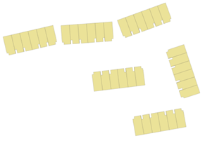
- Buildings: id=”buildings”
- Building Numbers: id=”building_numbers”
- Compass: id=”compass”
- Curbs: id=”curbs”
- Details: id=”details”
- Dimensions: id=”dimensions”
- Disclaimer: id=”disclaimer”
- Drive way: id=”driveway”
- Footprints: id=”footprints”
- Golf: id=”golf”
- Graphic: id=”graphic”, id=”graphic_1”, id=”graphic_1_bitmap”,id=”graphic_2”, id=”graphic_2_bitmap”…
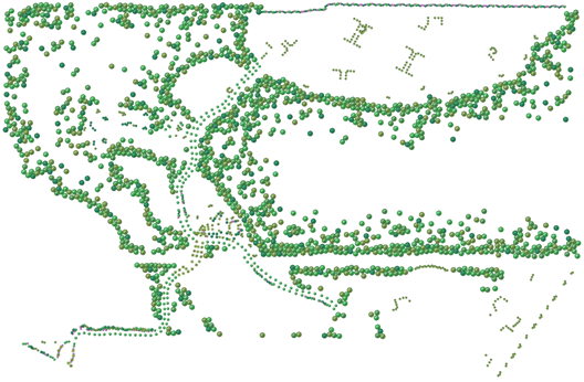
- Grass:id=”grass”, id=”grass_bitmap”
- Landscaping: id=”landscaping”, id=”landscaping_bitmap”
- Legend: id=”legend”
- Line Work : id=”linework”, id=”linework_1”, id=”linework_2”, id=”linework_3” …
- Logo: id=”logos”, “logos_bitmap”
- Lot Numbers: id=”lot_numbers”, id=”other_lot_numbers”
- Lots Polygons : id=”lots”, id=”lot_polygons”, id=”other_lots”, id=”future_lots”
- Mask : id="mask" ****for GMap
- Paver: id=”paver”, id=”paver_1”, id=” paver_1_bitmap”,id=” paver_2”, id=”paver_2_bitmap”…
- Plan Numbers: id=”plan_numbers”
- Pool: id=”pool”
- Scale Reference: id=”scale_reference”
- Setbacks:id=”setbacks”
- Street Names: id=”street_names”
- Street: id=”street”
- Walkway: id=”walkway”
- Water: id=”water”, id=”water_bitmap”
- Wetland: id="wetland"
- Zones: id=”zones”, id=”zone_1”, id=”zone_2”, id=”zone_3” …
¶ Graphic
The graphic elements can be vectorial or a bitmap. In the svg, the layer id contains “_bitmap” when it’s an image. This layer may contain several sublayers.
¶ Graphic 1, Graphic 2, Graphic 3…
(From bottom to top layer)
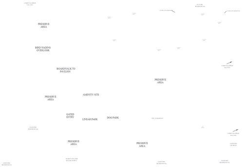
¶ Amenity
¶ Background

¶ Buildings
¶ Compass

¶ Details
All elements displayed over the lots. Example: stone wall


¶ Golf
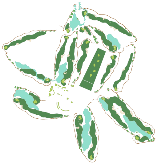
¶ Grass
The grass elements are vectorial and can define multiple ground level.
¶ Grass 1, Grass 2, Grass 3…
(From bottom to top layer)
¶ Sand
The sand elements are vectorial and can define multiple ground level.
¶ Sand 1, Sand 2, Sand 3…
(From bottom to top layer)
¶ Landscaping
¶ Street

¶ Water

¶ Other Graphics
- Curbs
- Pavers
- Walkway
- Wetland
¶ Legend

¶ Lot Polygons
¶ Lots
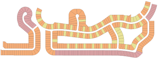
¶ Other Lots (Future Site)

¶ Names & Numbers
¶ Amenity Names
¶ Building Numbers
¶ Dimensions
¶ Lot Numbers
¶ Plan Numbers
¶ Street Names
¶ Zones

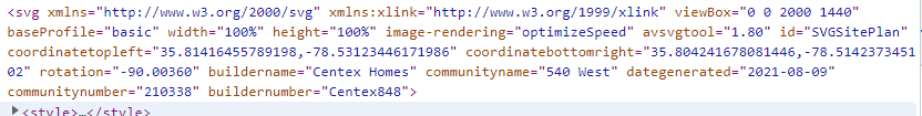
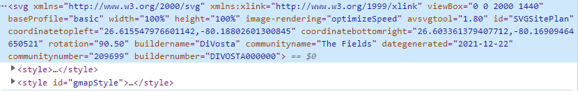
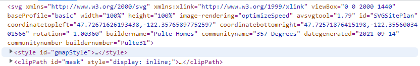
¶ SVG Properties Used For Google Map
¶ Properties Used Inside SVG File
- coordinatetopleft (Mandatory) : This points to the left top corner of the SVG.
- coordinatebottomright (Mandatory) : This points to the bottom right corner of the SVG.
- rotation (Mandatory) : Rotate the SVG with the value provided.
- buildername (Mandatory) : Name of the builder.
- communityname (Mandatory) : Name of the community.
- dategenerated (Mandatory) : ISO 8601 formatted date
- communitynumber (Optional) : Community Number
- buildernumber (Optional) : Builder Number
¶ Example
Builder: Pulte Homes
Community: Alexander Place
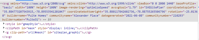
SVG URL:
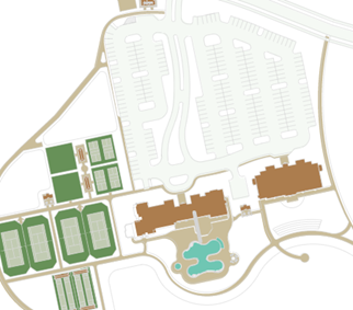
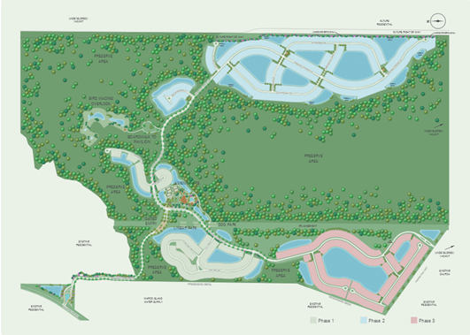
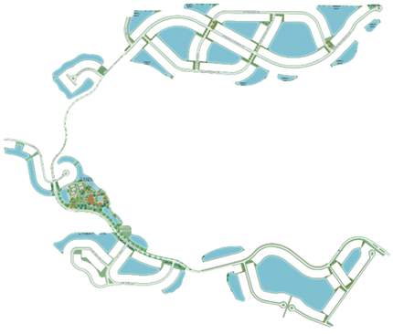
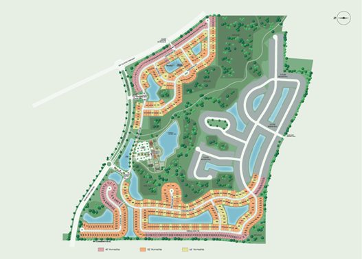
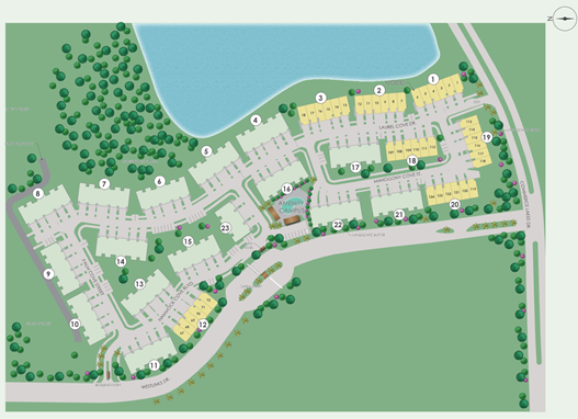
¶ Map with Mask:
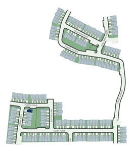
¶ On Google Map:
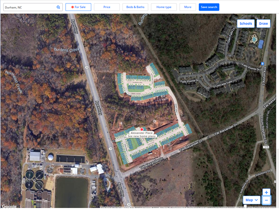
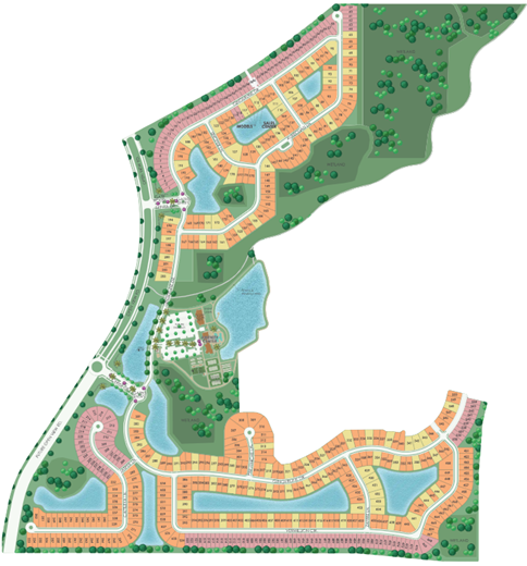
¶ Mastermap
¶ Full Map
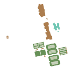
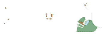
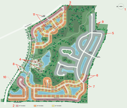
¶ Map With Mask

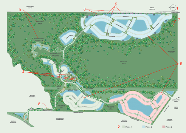
¶ Hide Unnecessary Graphics Such As
- Areas outside the sitemap lot's boundaries are cropped.
- Specifically focus on displaying lots and amenities and hide the unwanted surroundings.
- Also, crop the lots of other communities that are visible in the current sitemap.
¶ Graphic Positions
Layers:
- Compass
- Legend
- Graphic
- Amenities
- Zones
- Details
- Landscaping
- Street Names
- Amenity Names
¶ Submap
¶ Full Map
¶ Map With Mask
¶ Hide Unnecessary Graphics Such As
- Areas outside the sitemap lots boundaries are cropped.
- Specifically focus on displaying lots and amenities and hide the unwanted surroundings.
- Also, crop the lots of other communities that are visible in the current sitemap.
¶ Graphic Position
Layers:
- Compass
- Legend
- Graphic
- Amenities
- Other Lots
- Lots Polygons
- Lot Numbers
- Details
- Landscape, Landscaping
- Street Names
- Amenity Names
¶ Examples
¶ Alphamap Links Including GMap Feature
- https://apps.zondavirtual.com/alphamap/index.html?OLAId=fef09ea9-8ad6-4044-bcdd-de0fa53ac1f4
- https://apps.zondavirtual.com/alphamap/index.html?OLAId=38A59B6D-5588-4A06-974E-33100330568F
- https://apps.zondavirtual.com/alphamap/index.html?OLAId=2862106b-e1c5-4293-ab24-d6667640d774
¶ Siteplan API Demo Links
- https://vpsstorage.blob.core.windows.net/demo/siteplanAPI/siteplanV9.html?requestid=210338
- https://vpsstorage.blob.core.windows.net/demo/siteplanAPI/siteplanV9.html?requestid=209699
- https://vpsstorage.blob.core.windows.net/demo/siteplanAPI/siteplanV9.html?requestid=210789
¶ SVG Map Links
¶ Version History
- 1.0
- Initial Release